
Rural landscape
Tangible heritage
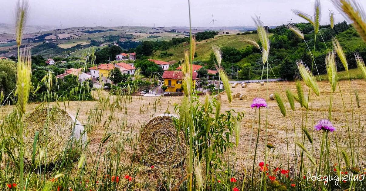
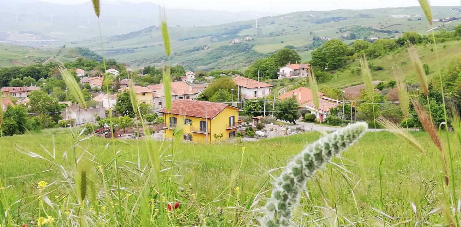
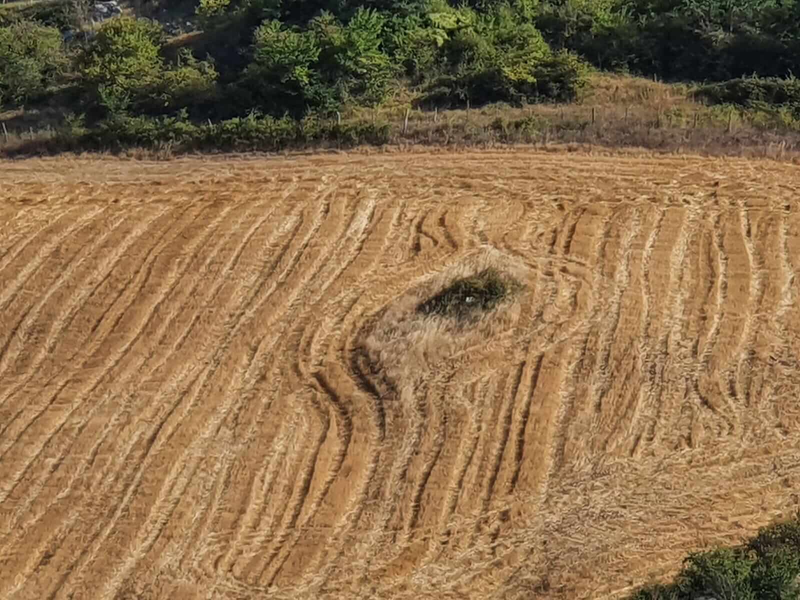
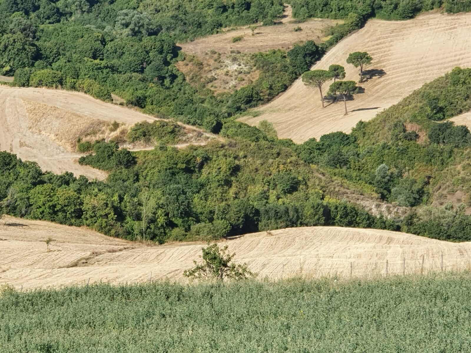
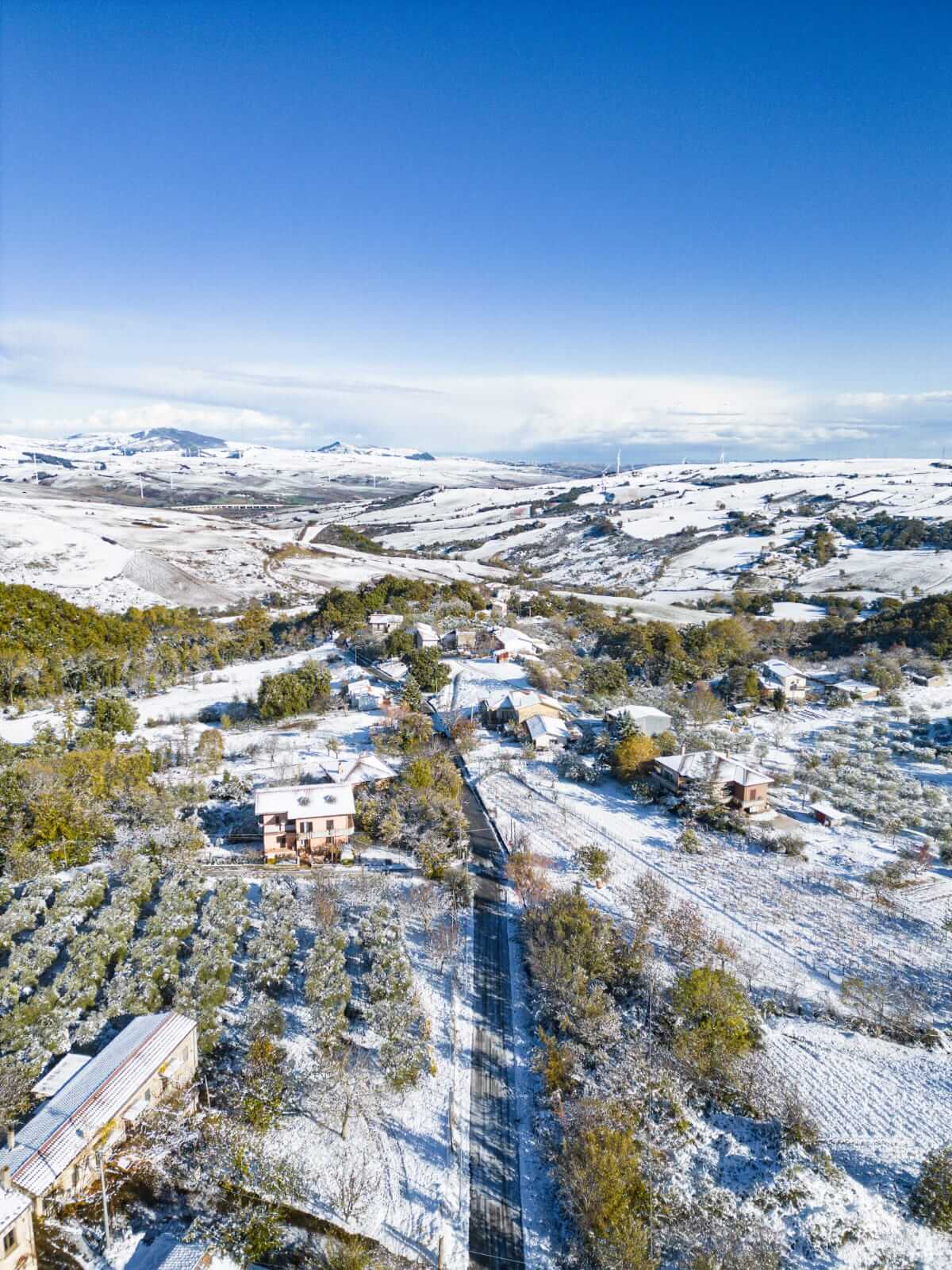
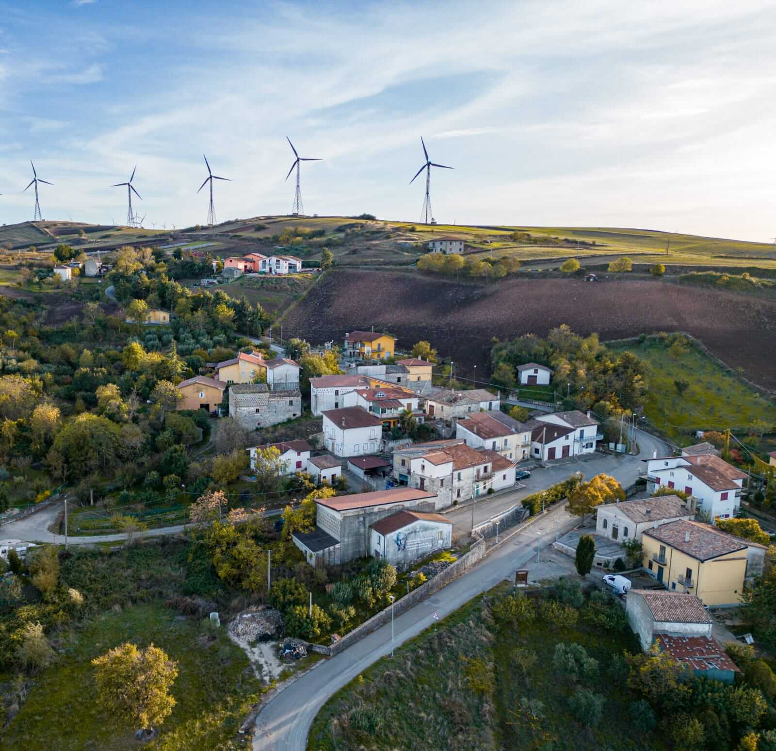
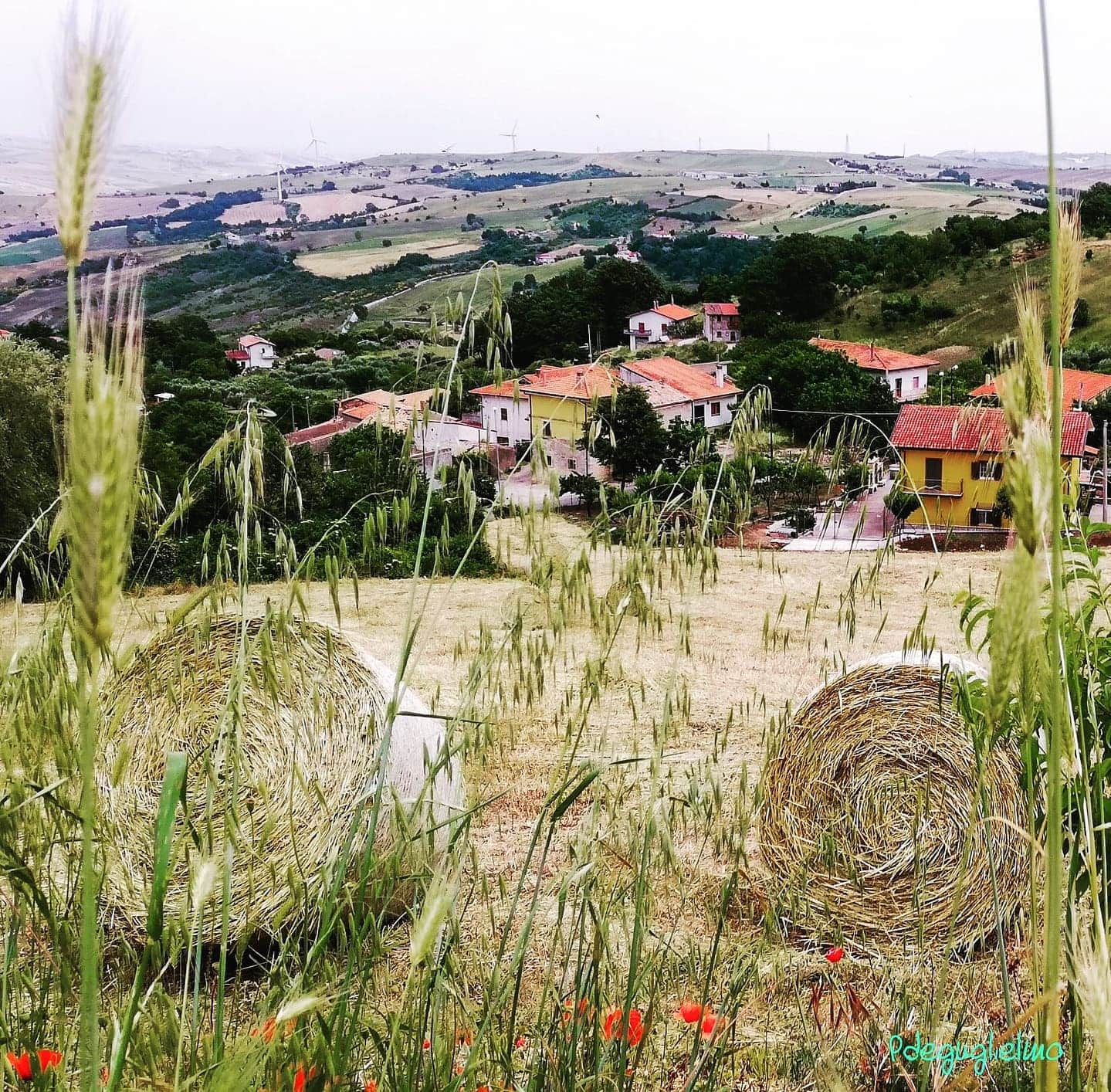
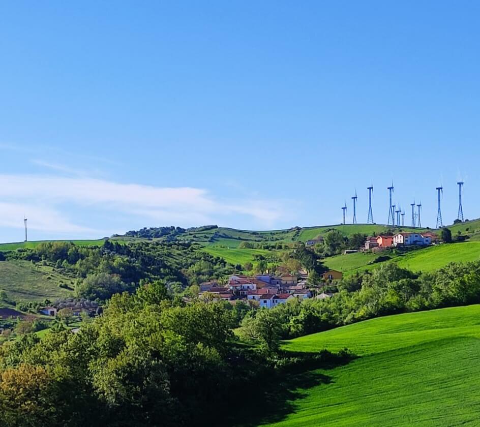
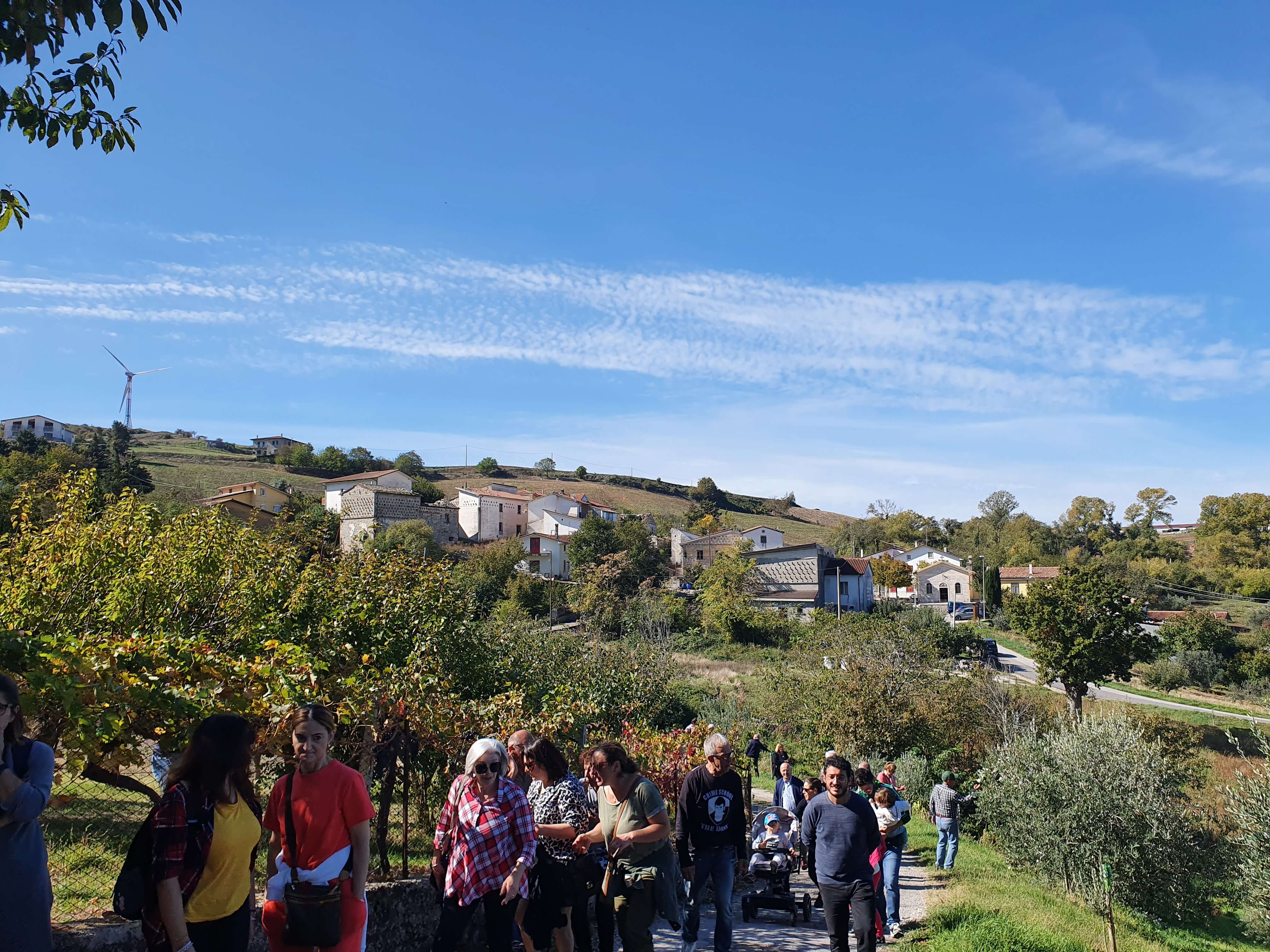
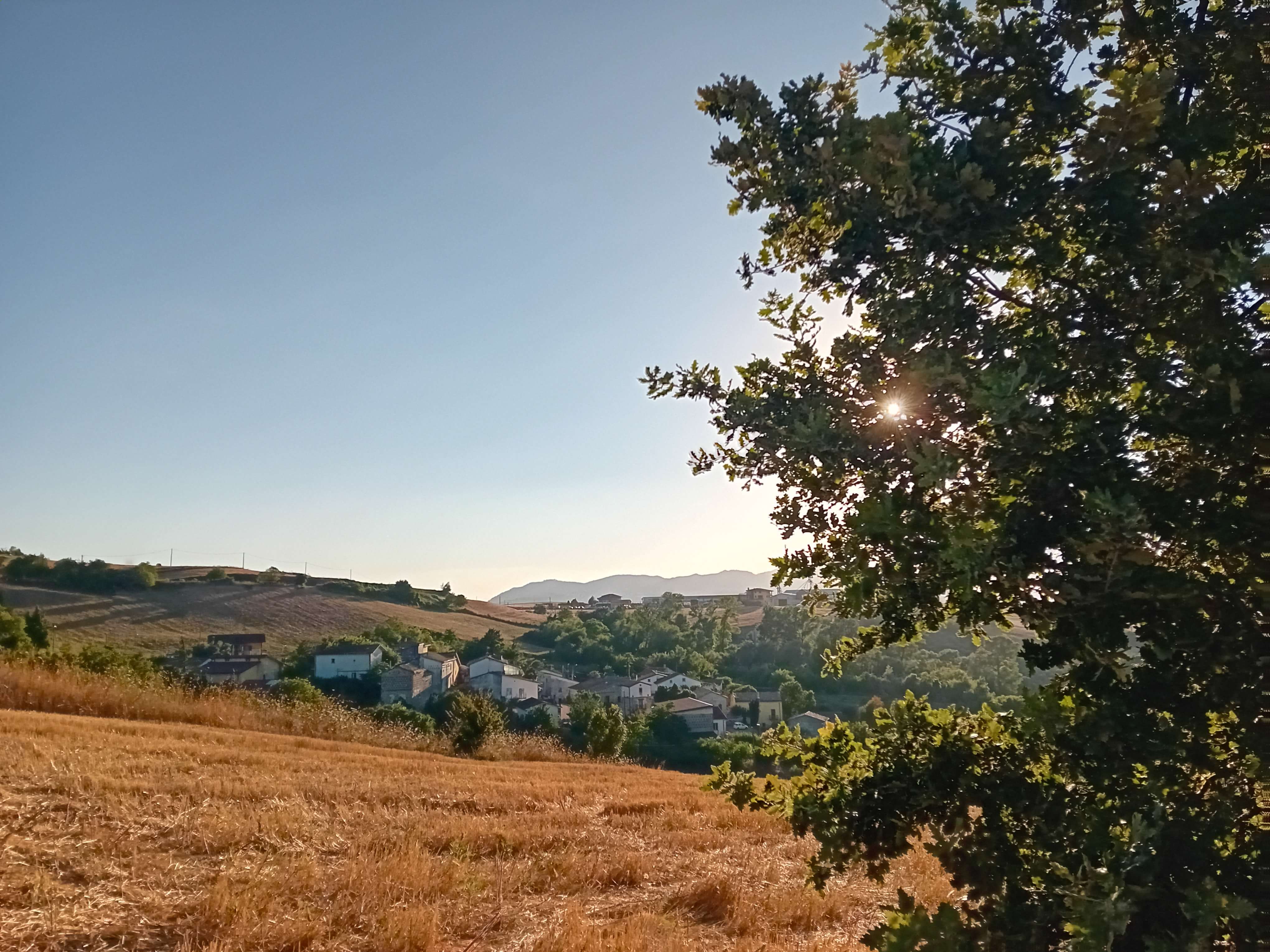
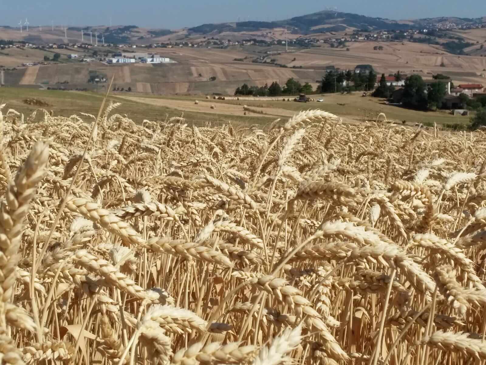
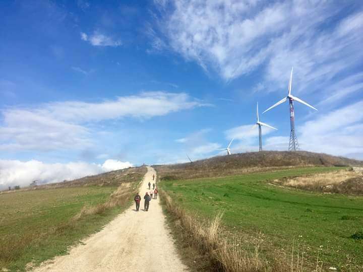
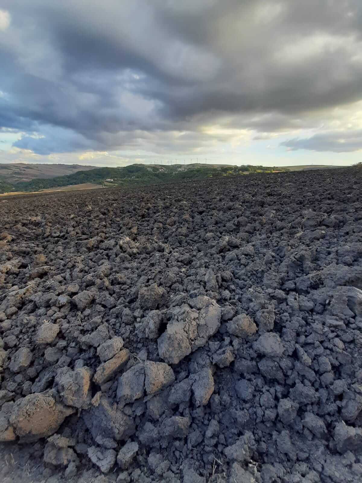
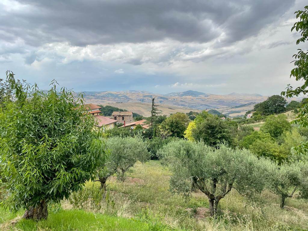
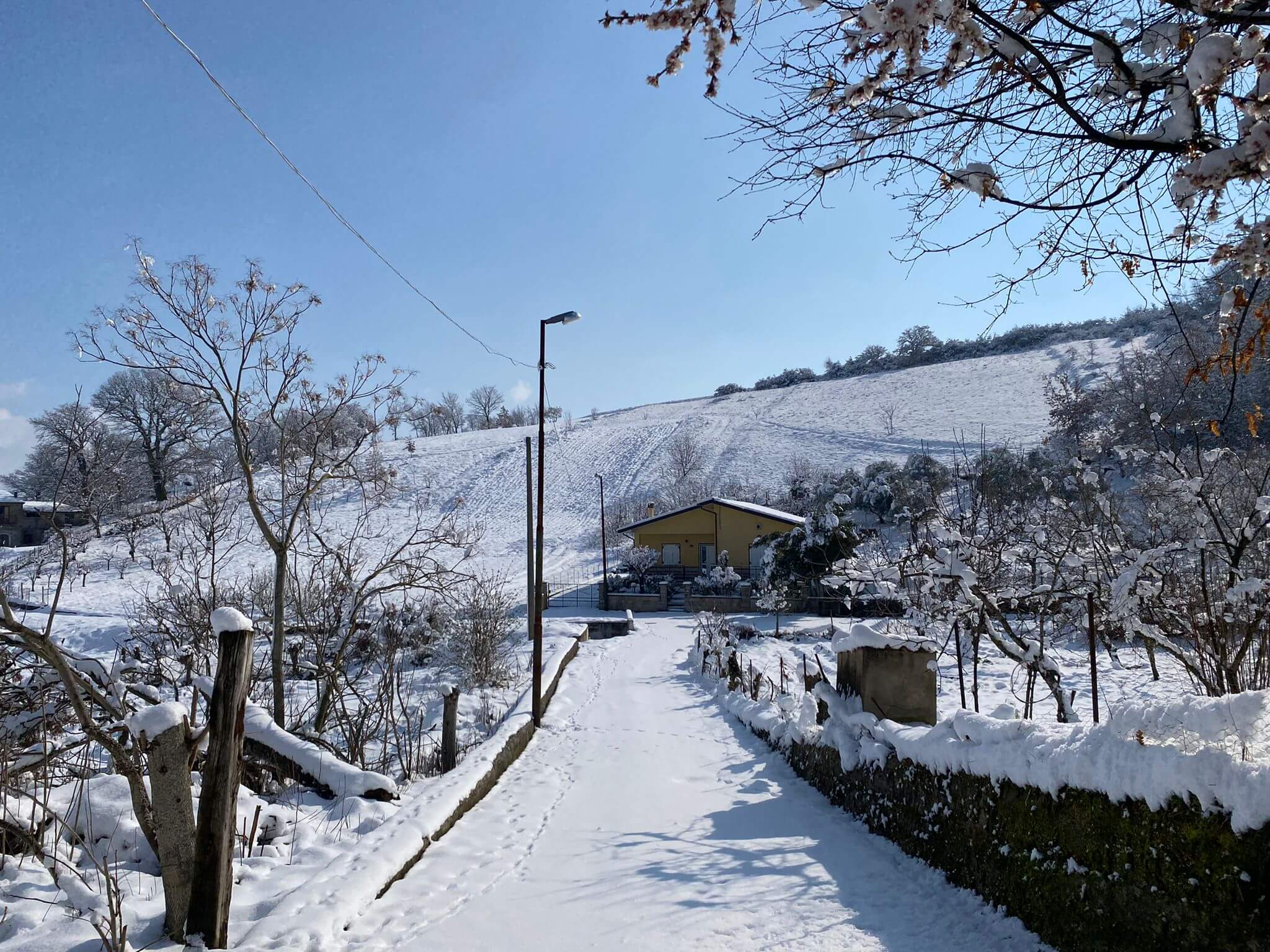
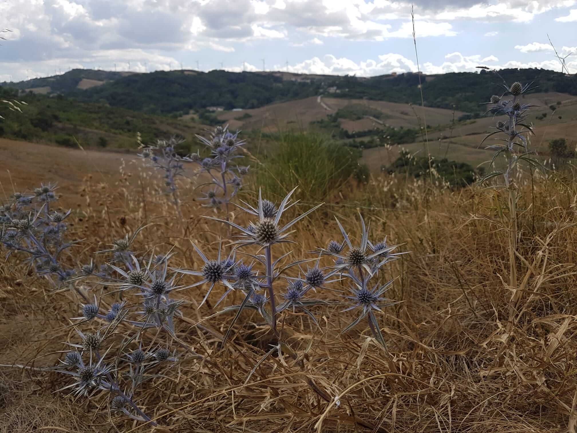
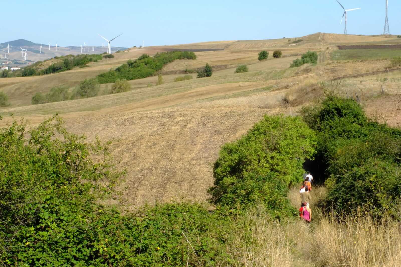
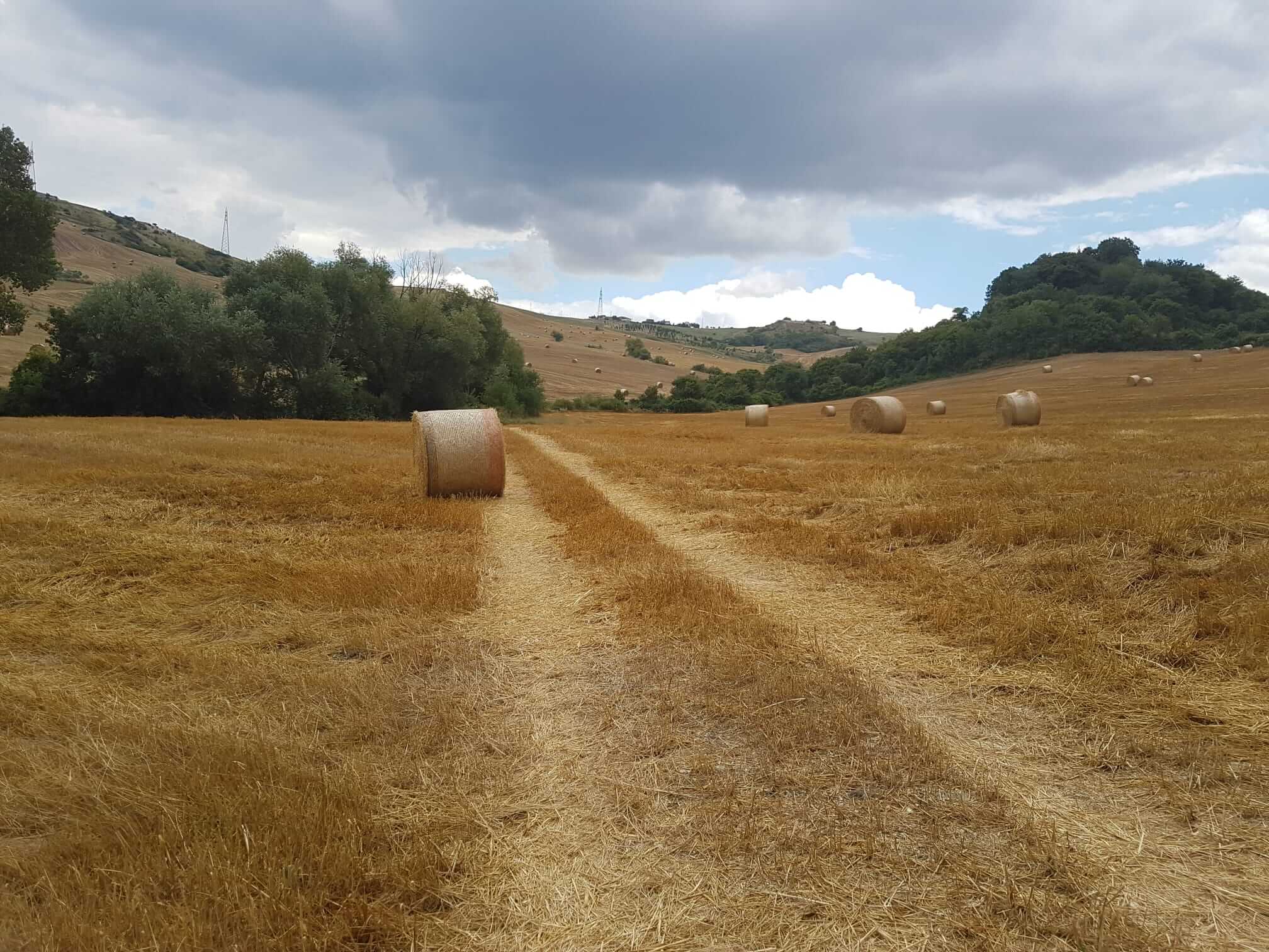
The rural landscape today is defined by the region's agricultural nature, distinguished by rolling hills with elevation differences of up to about 400 meters. Around 80% of the land is used for growing forage or wheat. The view is often interrupted by woodlands, farmhouses, and clusters of old dwellings connected by ancient tracks and paths still shaped by the wind.
In pre-Roman times, the area was inhabited by the Osci, a people known for their industriousness and skill (the name derives from Ops, meaning "work" in Latin). Later, it became a land of passage — a middle ground crossed by the Via Appia, now a UNESCO World Heritage Site, which once connected Rome to Brindisi.
During the Middle Ages, it served as a hunting reserve for Emperor Frederick II, who in the 13th century practiced falconry in these very areas. He was the first to introduce and regulate the practice in Europe, residing at the Castle of Bisaccia.
The territory has long been used for livestock grazing, both sheep and cattle, and still preserves the ancient tradition of transhumance — another UNESCO-recognized heritage.
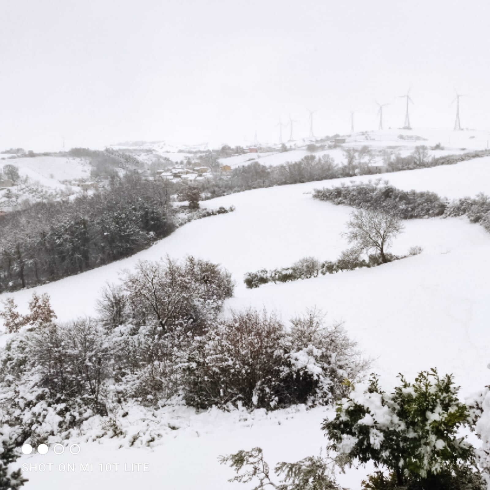
The landscape transforms dramatically through the seasons, its colors tied to the rhythms of the land: in spring, it turns a deep green across vast cereal fields still maturing; in summer, it becomes golden yellow; in autumn, brown and bare during plowing time; and often white in winter under a veil of snow.
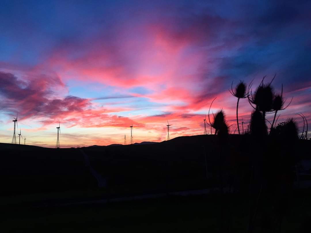
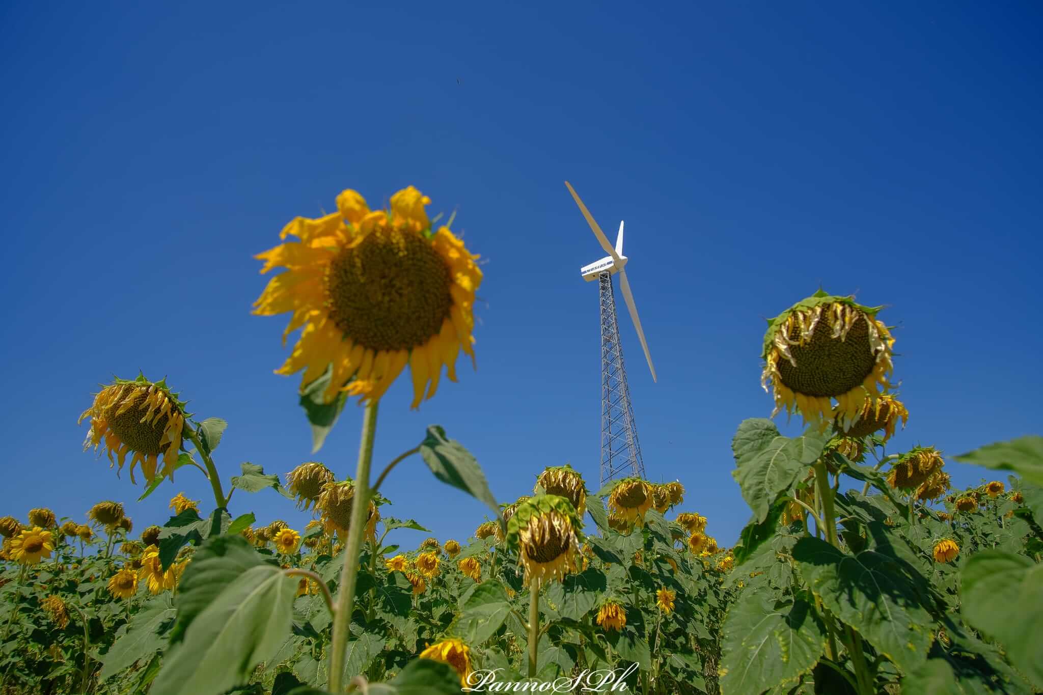
Since the 2000s, a large wind farm has become part of the area. Through the wind itself, Oscata inVita seeks to tell the story of a land rich in potential, including renewable energy.
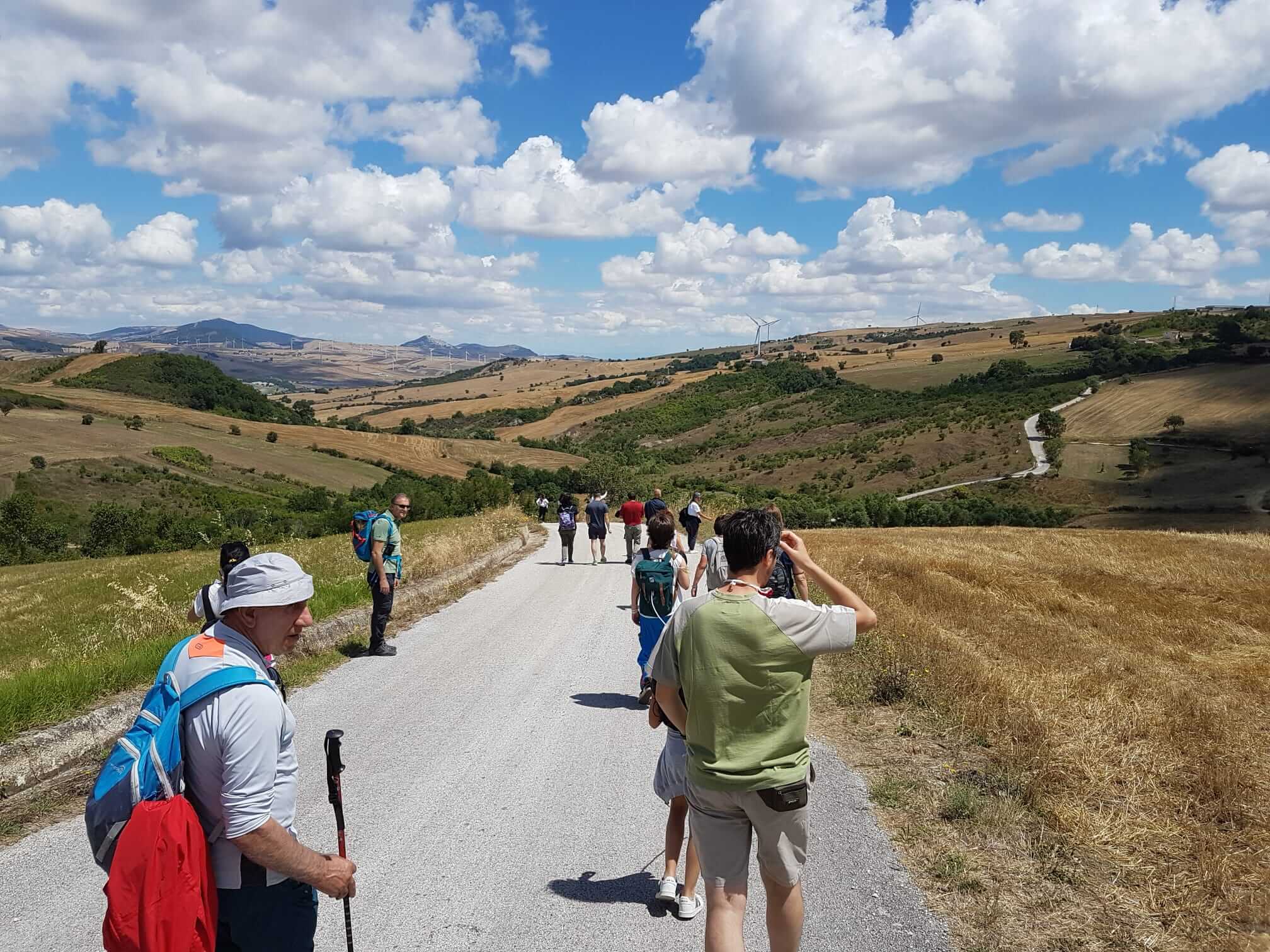
Along the walking routes, visitors can admire distant views of the Gargano and the Gulf of Manfredonia, Mount Vulture in Basilicata, and the nearby regions of Daunia and Baronia, and the Picentini Mountains. Oscata inVita promotes walking days along these trails, mapped and cared for by local volunteers.